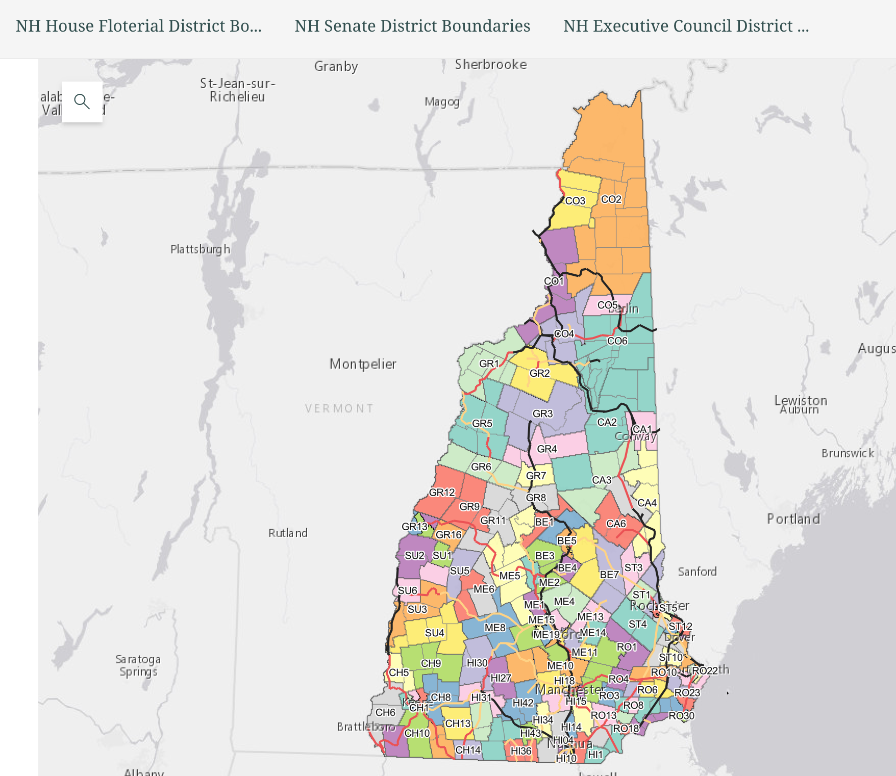
Matt Baronas at Central NH Regional Planning Commission has created a Story Map showing the NH rail corridors along with the political boundaries at the State Rep, State Senate, and Executive Council levels.
The idea behind this interactive map is to make it easy for the public and advocates to learn about the status of rail corridors they care about, and contact politicians who might be able to help with that section being developed into a better rail trail.
Our politicians can play a larger role in getting state funds allocated to rail trails. They could also influence how NHDOT spends federal funds. More political outreach and influence would help us achieve our vision of a connected network of rail trails sooner.
1. You can enter an address and the map will zoom in (too far, so use the minus in the lower right to zoom out a bit) to the address location.
2. Click on the political label in the map and it pulls up the politician’s contact info.